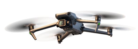
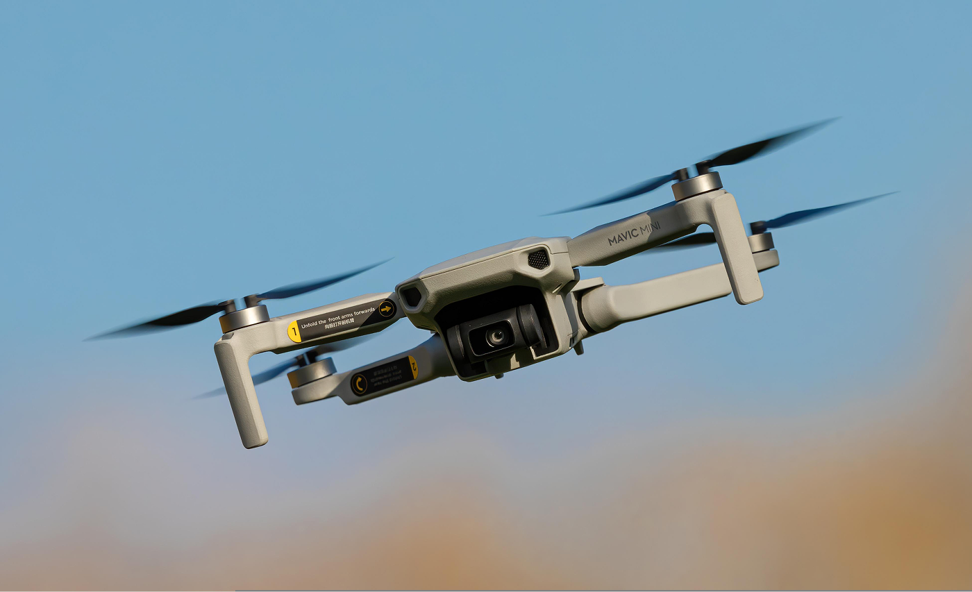
Recreational
- Aerial photography and videography
- FPV racing and freestyle flying
- General exploration/fun flying
A drone (UAV) is and unmanned aircraft flown remotely or autonomously, with no pilot and no passengers on board. UAVs can also be seen as components of unmanned aircraft systems (UASs), which also include ground-based controllers and systems of communications with the aircraft.
11.2 million units total
Reference: UAV Drones Market Size, Share | Industry Forecast to 2034 — marketreportsworld.com, https://www.marketreportsworld.com/market-reports/uav-drones-market-14722242
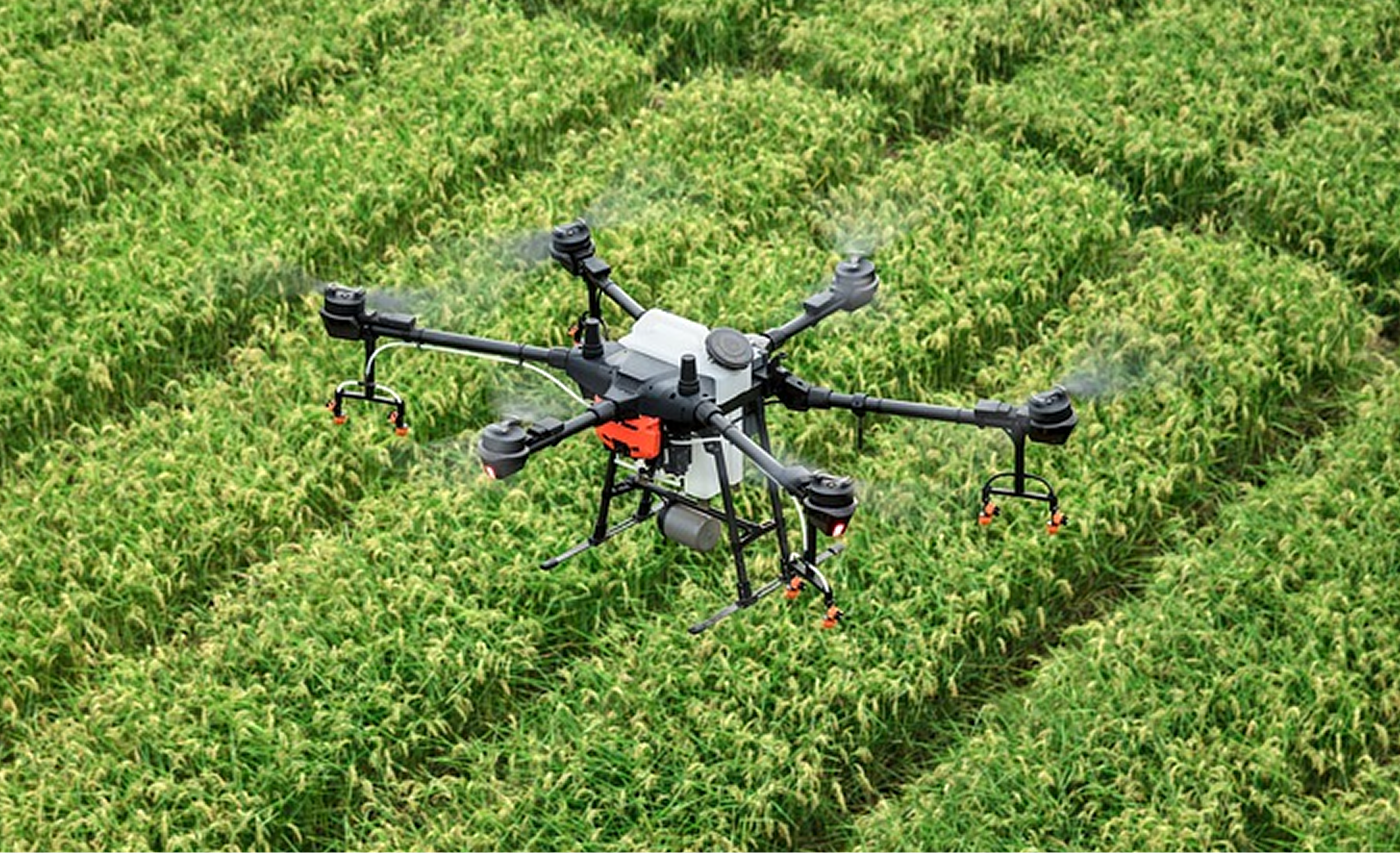
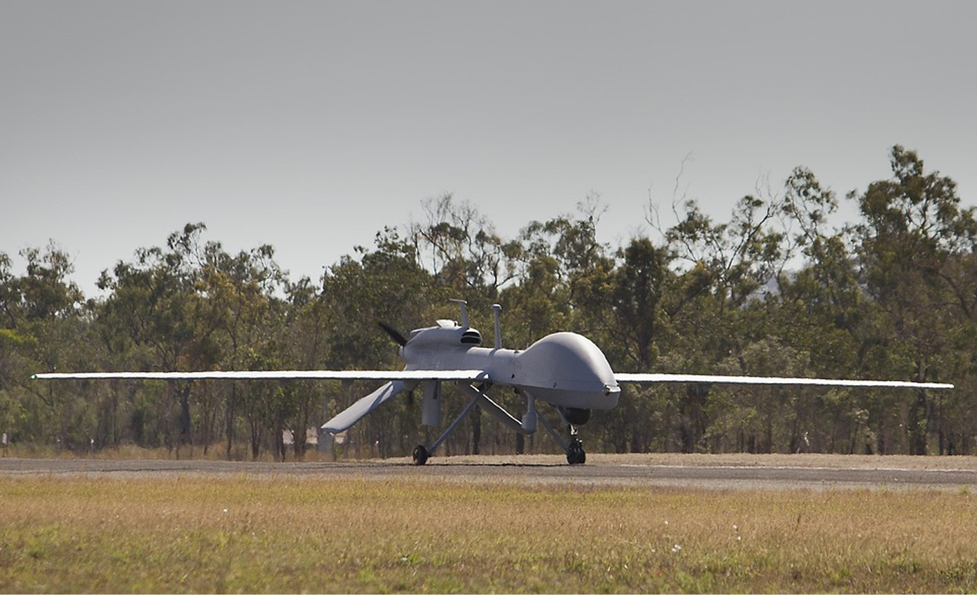
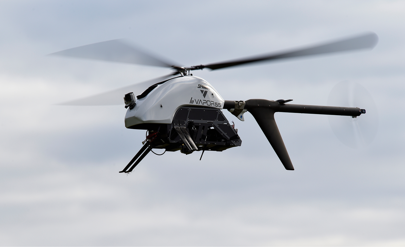
"161009-N-PO203-371" by Office of Naval Research (U.S. Navy photo by John F. Williams) is licensed under CC BY 2.0. Source: https://www.flickr.com/photos/usnavyresearch/30155582071
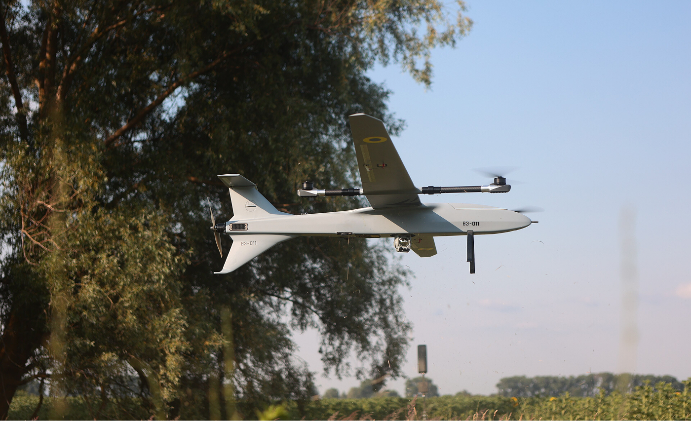
"БпЛА Buntar-3 – момент зльоту у VTOL режимі" (Buntar-3 UAV – vertical takeoff in VTOL mode) by YevHo, licensed under CC BY-SA 4.0. Source: https://commons.wikimedia.org/wiki/File:БпЛА_Buntar-3_–_момент_зльоту_у_VTOL_режимі.jpg
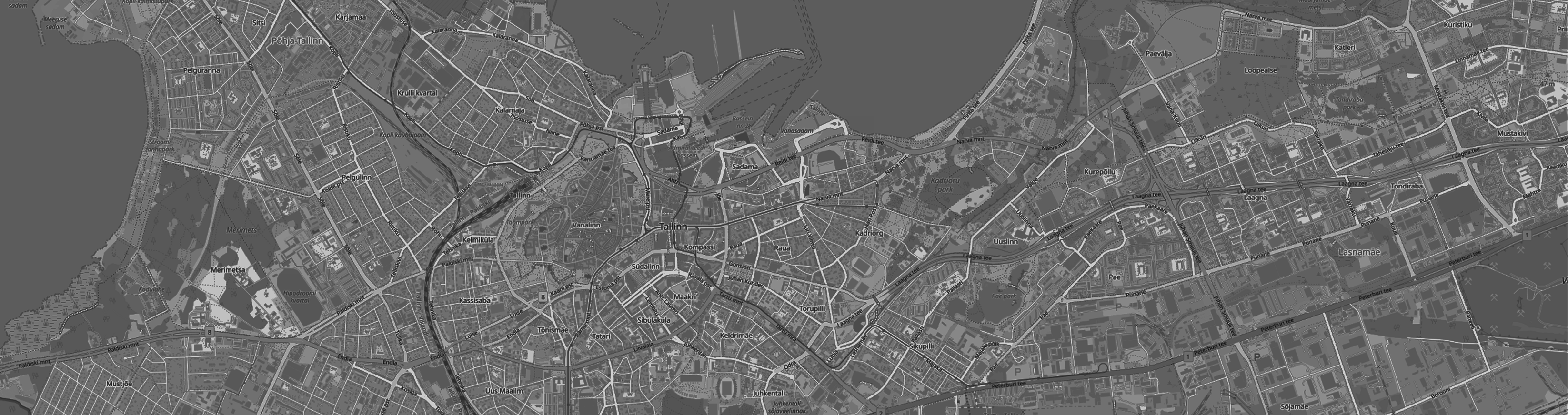
HexTech takes a multi-layered approach to drone detection, combining every available technology, such as DRID, RF, radar, acoustic and optical to build the clearest possible picture of what's happening in the airspace.
We integrate third-party sensors alongside our own and continuously test different detection methods, so each deployment delivers the best visibility for our clients.
01 + 02 layer //


DJI Mavic 3
S/N: 1581F45T123456789012
Drone location
59.4359, 24.7299
Operator ID
EST6x7d9s0l1m5n3
Pilot location
59.4338, 24.7337
Height
28 m
DRID //
DRID refers to Direct Remote Identification, the broadcast-based identification signal mandated under EU drone regulation.
Compliant drones continuously broadcast via Wi-Fi or Bluetooth, so anyone with a compatible receiver can read it without a network connection.
DID //
DID refers to DJI Drone-ID, the identification signal that DJI drones broadcast over their own proprietary radio protocol.
Because the format is DJI-specific rather than an open standard, detecting and decoding it requires receivers built to recognize DJI's signaling.
03 layer //
FPV: Analog
RSSI
-105.5 dBm
Center frequency
2445 MHz
RF detection passively listens for the radio signals exchanged between a drone and its controller, video downlinks, and identification broadcasts like DJI DroneID or DRID.
As a dual-use technology, the same RF sensing that protects an airport or power plant also underpins lawful spectrum monitoring, but it's blind to RF-silent threats such as fully autonomous or fiber-optic-controlled FPV drones.
04 layer //
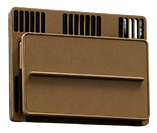
Radar detection actively transmits radio waves and analyzes their reflections to detect, locate, and track drones independent of whether the drone emits any signal of its own.
The same radar that guards critical infrastructure and perimeter surveillance also serves as traffic control. The downside is that small, slow, low-flying drones can produce a faint radar signal that can be lost amid birds and ground clutter.
05 layer //

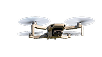 UAV: 96%
This is the layer that delivers a positive visual confirmation. Cameras and infrared sensors, paired with computer-vision algorithms, visually spot, classify, and track drones and capture evidence for identification purposes.
Performance degrades with range, weather, fog, and cluttered visual backgrounds, and it typically needs cueing from another sensor to know where to look.
06 layer //
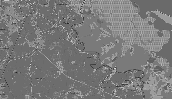
Sensors' view Live
Acoustic detection passively listens for the distinctive sound signature of a drone's motors and propellers, using microphone arrays to detect and roughly localize threats including RF-silent drones and autonomous drones with their own sensors.
With the right machine learning models, the same acoustic sensing extends well beyond drones to detect other threats, such as Shaheds, fighter jets, and other military activity by acoustic signature.